Hofu Yamaguchi: Mountain, river and coastal circular
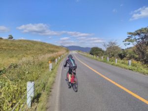
This is a two and a half hour in Hofu, Yamaguchi Prefecture, relatively gentle 40km ride. It involves a 450m climb over a ridge of Ohira mountain, a ride along the river Saba Gawa cycle way, cycling through the city of Hofu and a brief encounter with the coastline of Yamaguchi. We cycled this in late December, the weather was gloriously sunny however the air temperature was cold especially when descending off the Ohira Mountain ridge.
Starting from the Hofu off road bike racetrack and Velodrome, we gently descended for 700m in a southerly direction to a set of traffic signals on the sanyo expressway in Hofu.
Starting Point: Hofu Velodrome
Turning left, Ashikikuri temple is on our immediate left had side. We cycled along this quiet road for 1600m and when the road veers to the left we made a right turn descending for 400m to a set of traffic lights at the intersection with the main road that passes through the centre of Hofu. We turned left, in an easterly direction, and cycled for 200 metres before making a short stop at the DO supermarket to get some provisions for our journey.
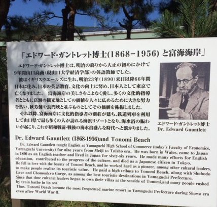
From the supermarket we continued along the main road in a easterly direction. After 3km the local train line starts to run alongside the road. Where the road veers to the left, we took a right and crossed the rail track and descended along a narrow road, with houses on either side, to the coast. We turned left, continuing in an easterly direction, on the narrow coastal road and followed it, passing a pottery en route with pots actually drying outside in the sunshine. Continuing along this quiet road, that seems to cling to the hillside, for a couple of kilometres we arrive at the seaside village of Tonomi. For those of you so inclined, Tonomi has a wonderful south facing beach and beautiful views over Japan's inland sea towards the mountains of Kyushu.
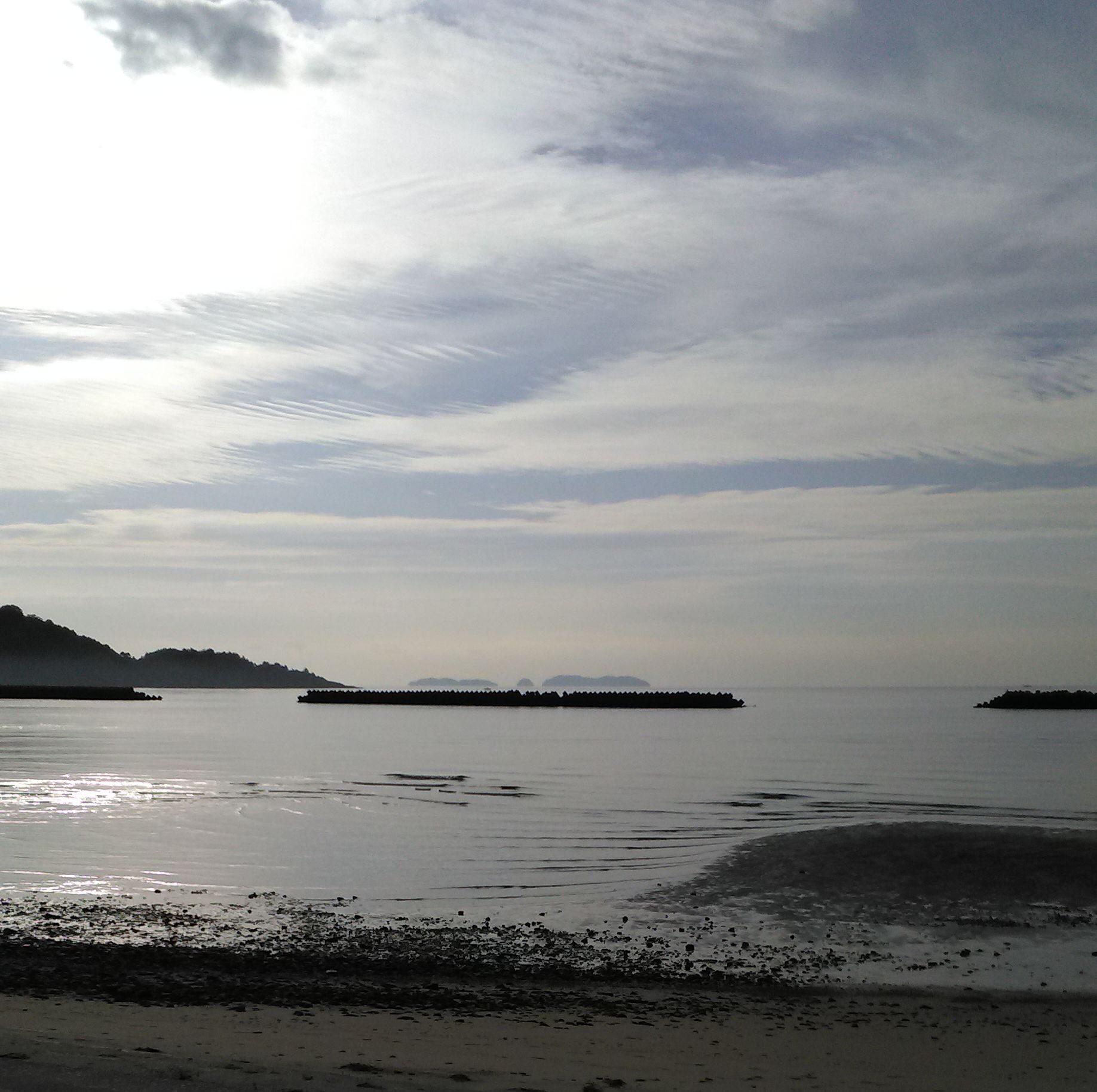
Looking south from Tonomi Beach
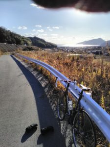
Upon leaving Tonomi, we joined the 2 and cycled over the (94m high) Tsubaki pass. Leaving Hofu city behind the top of the pass marks our entry to Shunan city. From the pass there is a gentle 2.5km descent to a set of traffic lights at the intersection with the 27. Here we turned left in a northerly direction, onto the 27, towards the onsen village of Yuno. Away from the coast behind, we were sturck by the cold December air coming down from the mountains and decided to make a brief stop in Yuno to warm our feet at a free public onsen footbath before putting on our cycling overshoes and windproof jackets.
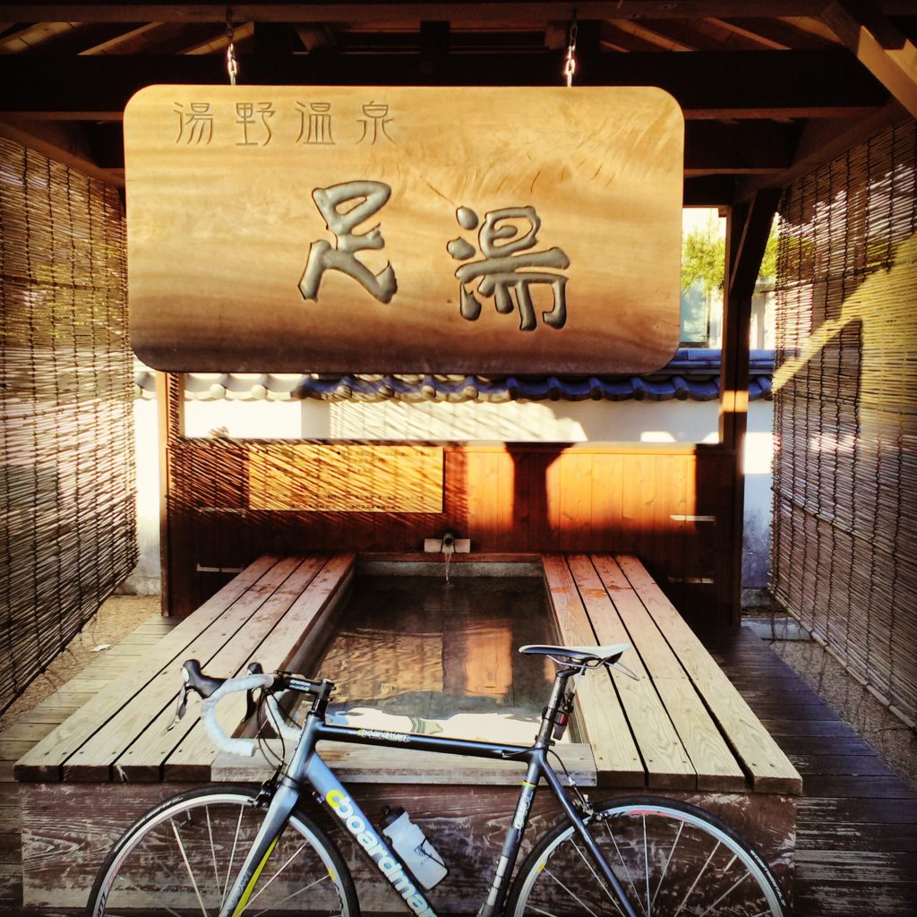
Yuno Foot Onsen
With warm feet we leave Yuno behind and continued north along the 27 for a further kilometre. At this point the main 27 road turns into the 192. We turned left following the 27. The road narrows and immediately gradient 'kicks up' (maybe 7%) following the course of a stream on the left hand side of the road. From here the road weaves its way up for 6km to pass over a ridge of Mount Ohira at approximately 450 meters. Mostly the landsape consists of tiered agricultural paddy fields but we also passed a number of lumber yards as we ascended. After 3.5 km we encounter a sharp left bend which also marks the location of the Futsuhiro Buddhist temple. We cycled this route in late December and the small stone Tori Gate was decorated with local shrubbery for the imminent new year celebration.
A further 500m along the road and we encountered a farm with a quirky display of monuments including a rather large puppet, a cyclist and a series of waterwheels.
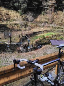
Rather eccentrically decorated paddy field on the 27 north of Yuno
Beyond this farm the road enters woodland and steepens to a 10% gradient before finally passing over the Ohira range ridge that marks the boundary between the cities of Shunan and Hofu. The road is quite narrow here and the steep twisting descent off the ridge, through woodland, is rather challenging. In December there was quite a lot of woodland debris scattered across the, what appears to be a hardly used, road which required some careful navigating and almost continuous braking. The challenge of the descent is further compounded by the cold mountain air which makes us very grateful for stopping in Yuno where we put on our overshoes and wind proofs, still, by the end of the descent, the right hand was feeling numb from the continual braking. After a 2km descent we emerge into a beautiful agricultural landscape with a scattering of houses in an area known as Hiskane.
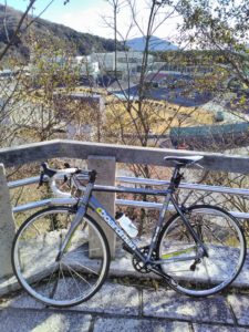
Tsubaki Pass: Looking South
We followed the quiet, smooth, sweeping road downhill until the intersection with the 184. We then crossed the 184 to join the blue cycle lane and turned left in a southerly direction. The wide blue cycle lane runs parallel with the 184 for two kilometres. The lane then veers off to the right to follow the river Saba along a smooth tarmac raised river bank (Saba Gawa Cycle Lane). Both river banks have bike friendly lanes which made a delightful final few kilometres to our ride as we weaved our way, following the meandering river, downstream in the direction of downtown Hofu city.
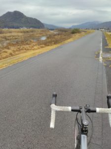
Sabagawa cycle route
Eventually the cycle path merges again with the 184, however there is still a wide path for cyclist to follow. After 500 meters we pass under a shinkansen track and two road bridges. Passing beneath the bridges we cycled for a further 300 meters before turning left, crossing the 185, up a short steep (max 10%) hill for 1km returning us back to our starting point of the Hofu off road bike racetrack and Velodrome .
Follow me!